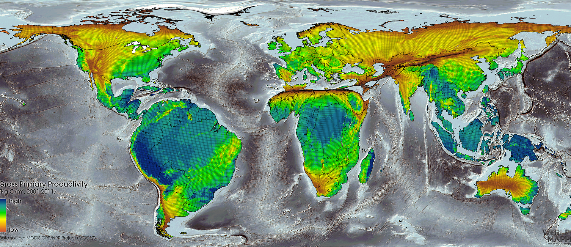
Click on http://www.worldmapper.org/. Click on Maps. Choose any map by clicking on it. In your blog post, explain why certain countries are depicted as larger or smaller. Compare this projection with any map projection from your Ways to Draw the World chart. How are they different? The same? Finally, imagine that you are from a country or area that is depicted as being smaller than what a map used in class (including yours) indicates. How would this make you feel? Why? Alternate question-How would you feel if your state/country were in someone's geographic blind spot and forgotten on a map? Use the labels cultures, g&he, geography,maps,worldmapper. Please include a Worldmapper image in your post.
Image Source: https://worldmapper.org/natures-heartbeat/
Click on http://www.worldmapper.org/. Click on Maps. Choose any map by clicking on it. In your blog post, explain why certain countries are depicted as larger or smaller. Compare this projection with any map projection from your Ways to Draw the World chart. How are they different? The same? Finally, imagine that you are from a country or area that is depicted as being smaller than what a map used in class (including yours) indicates. How would this make you feel? Why? Alternate question-How would you feel if your state/country were in someone's geographic blind spot and forgotten on a map? Use the labels cultures, g&he, geography,maps,worldmapper. Please include a Worldmapper image in your post.
Image Source: https://worldmapper.org/natures-heartbeat/Monday, October 2, 2017
WorldMapper Activity
Click on http://www.worldmapper.org/. Click on Maps. Choose any map by clicking on it. In your blog post, explain why certain countries are depicted as larger or smaller. Compare this projection with any map projection from your Ways to Draw the World chart. How are they different? The same? Finally, imagine that you are from a country or area that is depicted as being smaller than what a map used in class (including yours) indicates. How would this make you feel? Why? Alternate question-How would you feel if your state/country were in someone's geographic blind spot and forgotten on a map? Use the labels cultures, g&he, geography,maps,worldmapper. Please include a Worldmapper image in your post.
Image Source: https://worldmapper.org/natures-heartbeat/